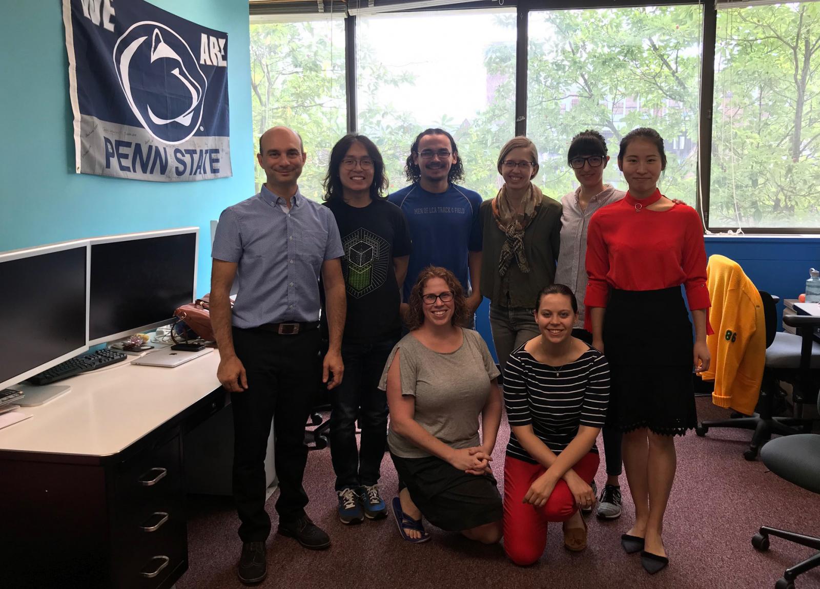
Penn State geographers in Geospatial Big Data Analytics conduct research and develop tools for the major challenges facing GIScience in use of Big Data to advance geographic research. Geospatial data, including geocomputation, remote sensing, and visualization, are central to the challenges and opportunities for science and society that Big Data provide. Geospatial big data derive from a rapidly expanding array of sources that include sensors (satellites, UAV-mounted cameras, distributed sensors monitoring water chemistry, air quality, energy consumption, and more within smart cities); GPS enabled devices (in vehicles, smart phones, wildlife collars, and even ones small enough to mount on migrating songbirds); Citizen Science efforts producing volunteered geospatial data; address-linked public health records; and through geoparsing of place references in text and speech. These data sources present major challenges to existing GIScience approaches and technologies that new scientific advances must overcome.


